Scroll Down

Who We Are
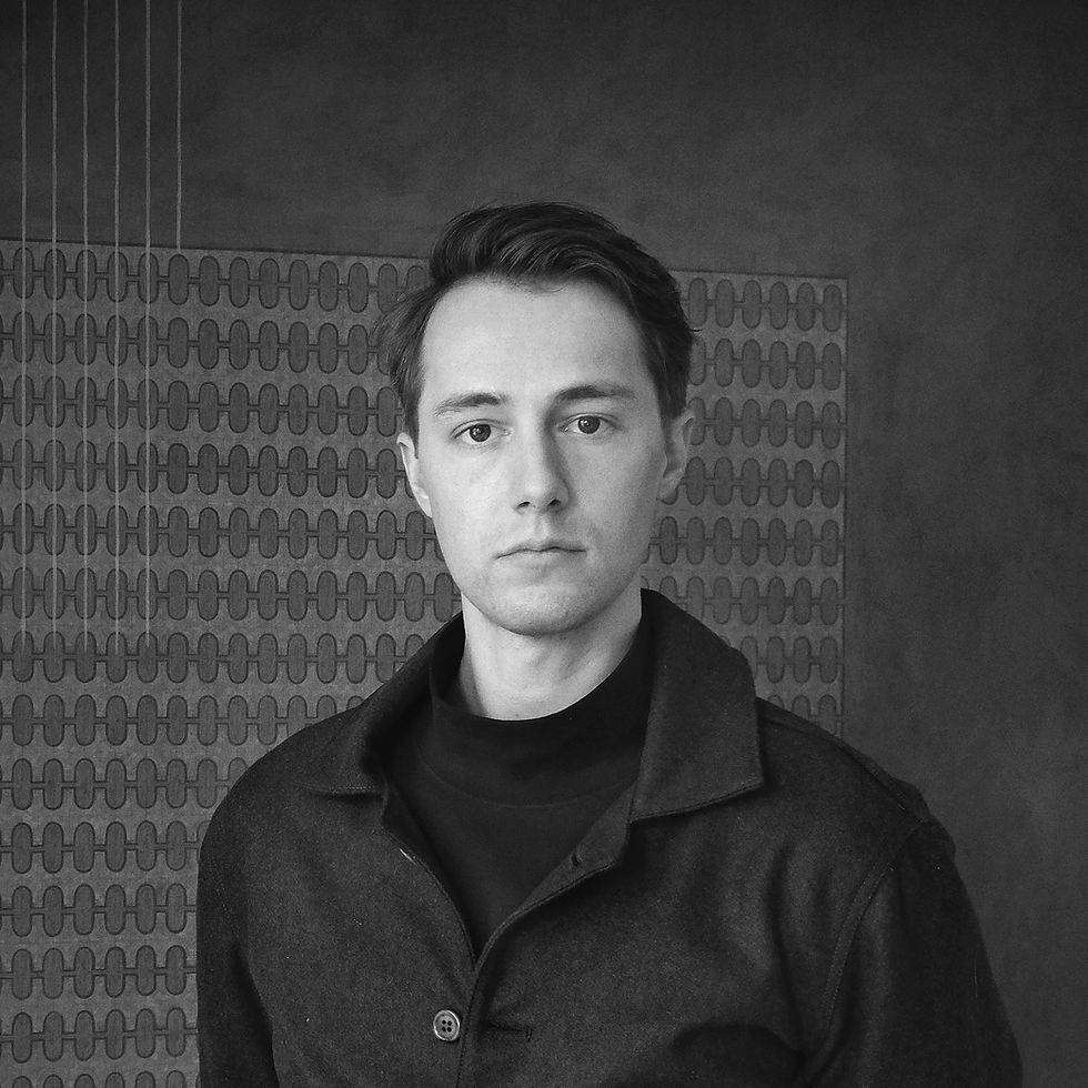
Ernest Haines is the founder of ijk Spatial Technology, a landscape focused computational design practice that helps landscape architects and allied disciplines work more intelligently with space, systems, and data. Prior to launching ijk, he worked with notable firms on large scale landscape infrastructure and public realm projects across North America and abroad.
He started ijk with the mission to integrate parametric workflows, geospatial analysis, and model making into landscape and urban design. Our practice partners with landscape, architecture, and engineering teams to turn complex spatial information into models that accelerate design, sharpen coordination, and inform decision making. Our work bridges the qualitative and quantitative aspects of design, offering responsive methods that make complex challenges legible and transformative ideas buildable.
Since 2016, Ernest has contributed to projects with collaborators including MVVA, Sherwood Design Engineers, GGN, and AECOM. He holds an MLA I with distinction from the Harvard Graduate School of Design, where he was an Irving Digital Innovation Fellow, and a BS in Urban Design from Parsons School of Design. In addition to his role at ijk, he is a lecturer at the University of Pennsylvania Stuart Weitzman School of Design

Who We Are
Conner Corbett is a Lead Consulting Partner at ijk Spatial Technology, a designer and computational strategist who helps landscape architects and allied disciplines work more intelligently with space, systems, and data. Prior to joining ijk, he worked with firms such as Skidmore, Owings & Merrill and MT Planners on large scale urban and ecological projects, bringing a systems oriented perspective to complex sites.
He strengthens our mission to embed ecological intelligence into every phase of design. At ijk, Conner leads hydrology and terrain modeling, geospatial analysis, and computational planting, building adaptable workflows that connect ecological processes with spatial design. He is the creator of Castor, an open source Grasshopper plugin that allows designers to import terrain, simulate drainage, classify landforms, and shape topography with intuitive grading tools. His work keeps project data fluid across platforms and translates complex datasets into clear strategies, offering responsive methods that make complex challenges legible and transformative ideas buildable.
Conner has delivered work across infrastructure, public realm, and restoration contexts. He holds a Bachelor of Architecture from the Illinois Institute of Technology, where he focused on the intersection of environmental design and digital technology.

What We Do
Our role flexes to fit the project. We are strong authors and even stronger collaborators, building the connective tissue between ideas, data, and delivery. Our work centers on four core capabilities:
-
Surfaces & Grading: Terrain modeling and grading logic that guide coordination early.
-
Spatial Analytics: Multi-scalar analysis that frames tradeoffs and ties information to geometry for decision support.
-
Site Elements & Systems: Parametric details and assemblies that maintain intent, performance, and constructability.
-
Visualization & Communication: Option studies, animations, and clear narratives that make choices legible to teams and stakeholders.
The result is faster iteration and fewer surprises, in the right format for the task at hand. Reach out and let's talk about how we can support your next project!


Our Process
Design is never static, neither are the tools we use to shape it. Landscapes evolve, and our workflows must adapt. ijk operates across scales, from site to geography, bridging geospatial analysis, computational workflows, and material precision to refine ideas into buildable, adaptable solutions.
Technology should amplify creativity, not constrain it. Our approach is flexible, iterative, and intuitive, empowering teams to work efficiently, explore deeper, and respond to change.
Whether you need a structured scope of work, an ongoing partnership, or targeted support, we integrate into your process to bring clarity, efficiency, and impact. Let’s build something that lasts by designing for adaptability.